
Follow a Baytown Street Directory
Use a street directory as a chain of address-keyed leads, not as a roster. Baytown sits in both Harris and Chambers counties, so start by checking the exact address in the City map and confirm the county. The applicable appraisal district can then provide the parcel or account identifier, situs address, legal description, tax-year context and owner or mailing field. A county clerk index can connect that legal description to recorded instruments. A historical street listing can add a dated household lead, but none of those sources alone proves present occupancy.
- Enter the address in Baytown GIS or Specific Web Maps to check the city, ETJ and county context.
- Search HCAD for a Harris parcel or ChambersCAD for a Chambers parcel, then save the parcel identifier and legal description.
- Use the right county clerk index for the latest deed, matching its legal description to the parcel rather than relying on a street string alone.
- Move backward from each recorded grantee to the earlier conveyance, noting the recording date and instrument number.
- For a dated household lead, consult the 1967 street/householders material or later local directory runs, then corroborate it with another source.
That order prevents the most common false join: mistaking an owner, tax mailing address, or old directory line for someone who lives at the address today.
Baytown Street Searches Need a County
A Baytown mailing address is not enough to choose a records office. The city has Harris and Chambers sides, and each side keeps its own appraisal and deed records. Baytown Specific Web Maps accepts an address and returns jurisdiction, zones, utility districts, school districts, parks and city-resource contacts. It is a useful routing check before opening a county portal, especially near the city-limit, ETJ or annexation lines.
The map supplies planning and geography context, not title or occupancy. A Harris search will not return a Chambers instrument. If the online route does not settle the county, Planning and Development Services is the municipal contact for location questions, and the county clerk or appraisal district can explain its own parcel-access options.
Baytown GIS for Street Parcels
The Baytown Interactive City Maps entry supports an address or County Parcel ID. The selected parcel appears in the viewer, while layers include city limits, ETJ, annexations, council districts, building footprints, ZIPs and voting precincts. Use the map to capture the correct parcel geometry before passing its identifier to the county appraisal system.
The City’s address-services map is shown below from the official Specific Web Maps source.
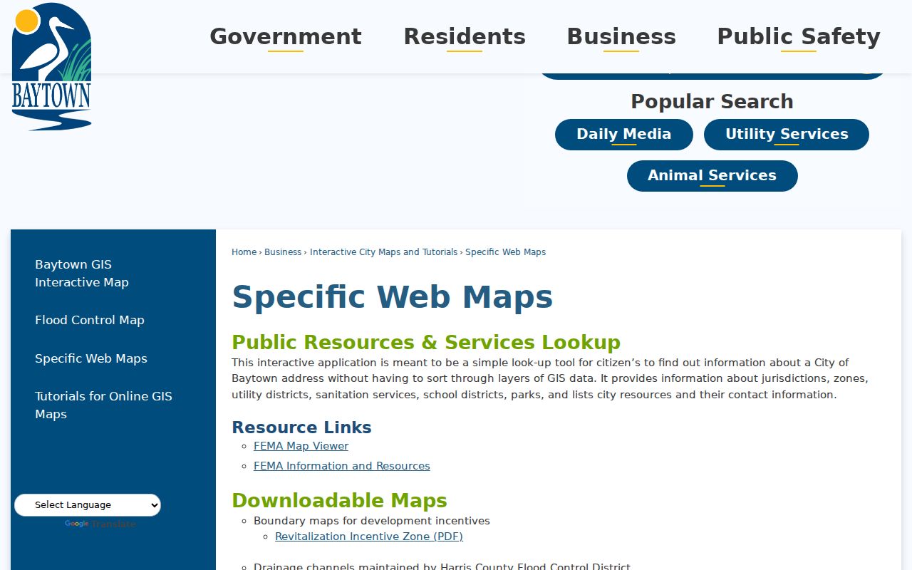
Its jurisdiction and service results help distinguish a map lookup from a deed or appraisal result.
The GIS launch screen below comes from Baytown’s interactive-map page.

Use the viewer to locate a parcel, then verify the legal record with the county custodian.
Note: Turn on one boundary layer at a time, since ZIP, precinct, city-limit and county lines answer different questions.
Baytown Street Directory Search Fields
Harris Central Appraisal District publishes account, owner-name and address search guidance, though its live form could not be field-inspected during the research. The Chambers County Appraisal District exposes a fuller set of controls. Its keyword search accepts a last-name-first owner name, owner ID, property ID or address. The detailed forms let a Baytown street directory search start with a street number, direction, street, city or ZIP and then tighten the result with legal-description fields.
| ChambersCAD search area | Visible fields | Useful street-directory purpose |
|---|---|---|
| Keyword | Owner name, owner ID, property ID, address | Locate an initial parcel lead. |
| Property | Geo ID, legal, number, direction, street, city, ZIP, subdivision, abstract | Match a street address to the stronger legal description. |
| Filters | Tax Year, Property Type, Sort By, Results Per Page | Record the tax-year context and refine a broad street result. |
| Baytown GIS | Address or County Parcel ID | Confirm the map and county route before querying CAD. |
An appraisal card is not recorded-title proof, and its owner or mailing field is not an occupancy statement. When an address leads nowhere, search the saved subdivision, lot/block, abstract or Geo ID rather than forcing a fuzzy street-name match.
Baytown Address Records Compared
Several record sets can be reached by street, but each has a distinct purpose. The appraisal districts maintain property-tax records. Baytown GIS supplies parcel and municipal geography. The county clerks maintain recorded property instruments. Historical directories preserve dated names at an address. Voter products are regulated and may omit protected fields, so they are not a complete street roster.
| Address record | Custodian | What it can show | Access route |
|---|---|---|---|
| Parcel and appraisal | HCAD or ChambersCAD | Account or property ID, situs, legal description, tax year and owner/mailing fields | County portal and public-access route |
| Map and address context | Baytown GIS | Parcel location, jurisdiction, limits, ETJ, ZIP and district layers | City address or parcel-ID search |
| Recorded instrument | Harris or Chambers County Clerk | Deeds, liens, releases, restrictions, plats and recording data | County index, copy order or counter |
| Historical street entry | UNT and Sterling Municipal Library | Dated household, telephone and street-guide clues | Digitized scan, local files or microfilm |
| Voter product | Harris voter services or Chambers election route | Precinct, polling and regulated voter-file fields | County-specific lookup or written request |
Carry the parcel ID and legal description forward. They tie an appraisal result to the deed index better than the street name, which may have changed, continued, or been entered differently in an older source.
- Parcel
- A defined piece of land in the appraisal and map system, usually identified by an account or property number.
- Situs address
- The physical location assigned to a parcel. It differs from the owner’s mailing address when tax notices go elsewhere.
- Plat
- A recorded map that lays out lots, blocks, streets or subdivisions. The county clerk’s plat or map record can support a legal-description search.
- Criss-cross directory
- An address-arranged directory that sends a researcher from a street and number to a dated household clue.
Baytown Deeds by Legal Description
For a Harris-side parcel, the Harris real-property search accepts file number, film code, date range, grantor, grantee, trustee, subdivision or description, instrument type, volume, page, section, lot, block, unit, abstract, outlot, tract and reserve. Names are entered last name first without punctuation, and a date range is limited to one year of county working days. Harris online property images begin November 1, 1960; earlier material may require the central-office microfilm route.
For a Chambers-side address, the Chambers Official Public Records portal offers Quick and Advanced Search using grantor, grantee, subdivision, document type or document number with a recorded-date range. It can search the index alone or the index with full-text OCR. The illustrated portal is from that official source.
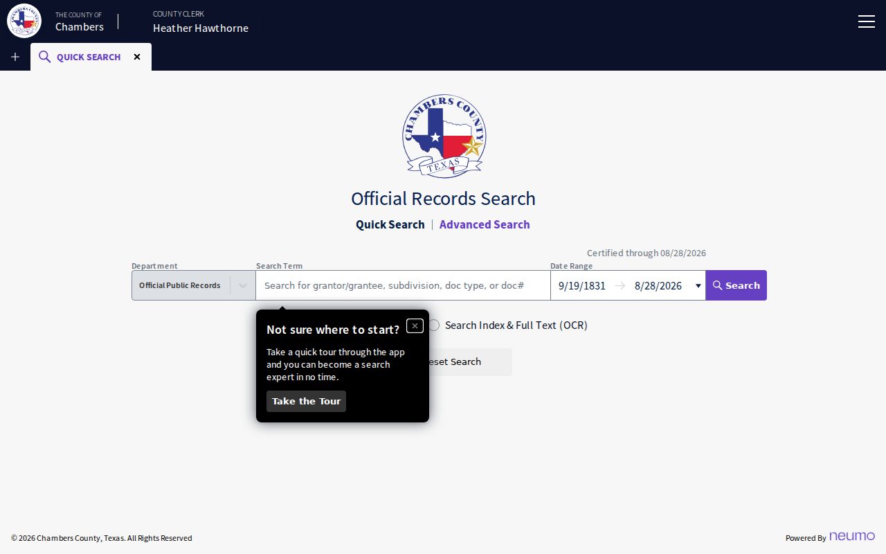
For older Chambers material or a copy question, public computers are available at the Anahuac clerk office and West Annex in Mont Belvieu; the online system is not the official repository and may contain redactions.
Baytown Street Directory in 1967
The 1967 Baldwin ConSurvey and Baytown Sun volume is the local reverse-search clue that modern parcel tools cannot provide. Its street guide and householders’ section list numbered addresses with names and telephone details, while the alphabetical portion can help resolve the printed surname or initial. Start with the exact street and number in the street section, transcribe the line as printed, and then test the same person in the alphabetical section. The 1979 and 1982 Johnson’s runs can extend the comparison, while the 1929–30 Tri-City volume catches earlier community labels.
These directories are dated publications. A name, phone number or household detail belongs to the directory year, may be stale or misspelled, and needs corroboration from a deed, newspaper index, yearbook or another dated source. Historical collections belong on the Baytown city directory page; here they serve the address-to-household step.
Baytown Streets Under Older Names
Baytown was not always the single label used by a directory or record office. The 1929–30 Tri-City Directory spans Baytown, Cedar Bayou, Crosby, Goose Creek, Highlands, Pelly, Stewart Heights and Wooster. Pelly and Goose Creek were incorporated in 1919, Pelly was annexed in 1945, and the Baytown charter followed in 1948. Those transitions explain why an address search may fail when it uses only the modern city name.
Check the current street and the older community name in GIS or CAD, consult Sterling Municipal Library’s 1940s–1950s street maps, then search the directory street guide and county clerk by legal description. The 1967 directory describes Bayway Drive as a continuation of Market to Decker Drive, a concrete example of why a historical alignment should not be treated as modern navigation.
Baytown Voter Routes by Street
Harris offers a registration search and a separate voter-search/sample-ballot form with Election Date, name, address, certificate number or VUID fields. Harris precinct data also offers county products by ZIP or district, but the material is regulated under Texas Election Code §18.009 and protected voter details can be suppressed. Chambers election records use the Chambers County route. A street directory should treat these tools as precinct and polling-place checks, not as a list of everyone on a block.
Use the address to identify the county and precinct first. If an address or name is protected, ask the election office about an available alternative or correction process instead of attempting to bypass suppression with another search field.
Note: A postal ZIP or a nearby voter result does not establish the county, household, or current residence for a Baytown address.
Baytown Street Directory Limits
A street search has hard limits. A situs address is the physical parcel location. A CAD owner field is an appraisal record, and a mailing address may belong somewhere else. A parcel may be vacant, combined, divided, held by an institution, or display “CURRENT OWNER” after an HCAD ownership-hiding request. A directory is a dated clue. Protected voter fields, driver-license information, living-person dates of birth and other confidential data are not ordinary public-directory fields.
For municipal permit or code questions, use the relevant City route rather than assuming a public person index exists. Baytown’s Building Services has an EnerGov permit/status path, and Neighborhood Protection uses address-specific complaints, but the research did not locate a public searchable code-case or person index. Existing municipal material can be sought through a Baytown Open Records Request under the Texas Public Information Act; the office need not create a new list or perform research.
Lawful use. Use Baytown address records for personal, family-history, property or civic research, and never to stalk, harass, intimidate, or harm a person.